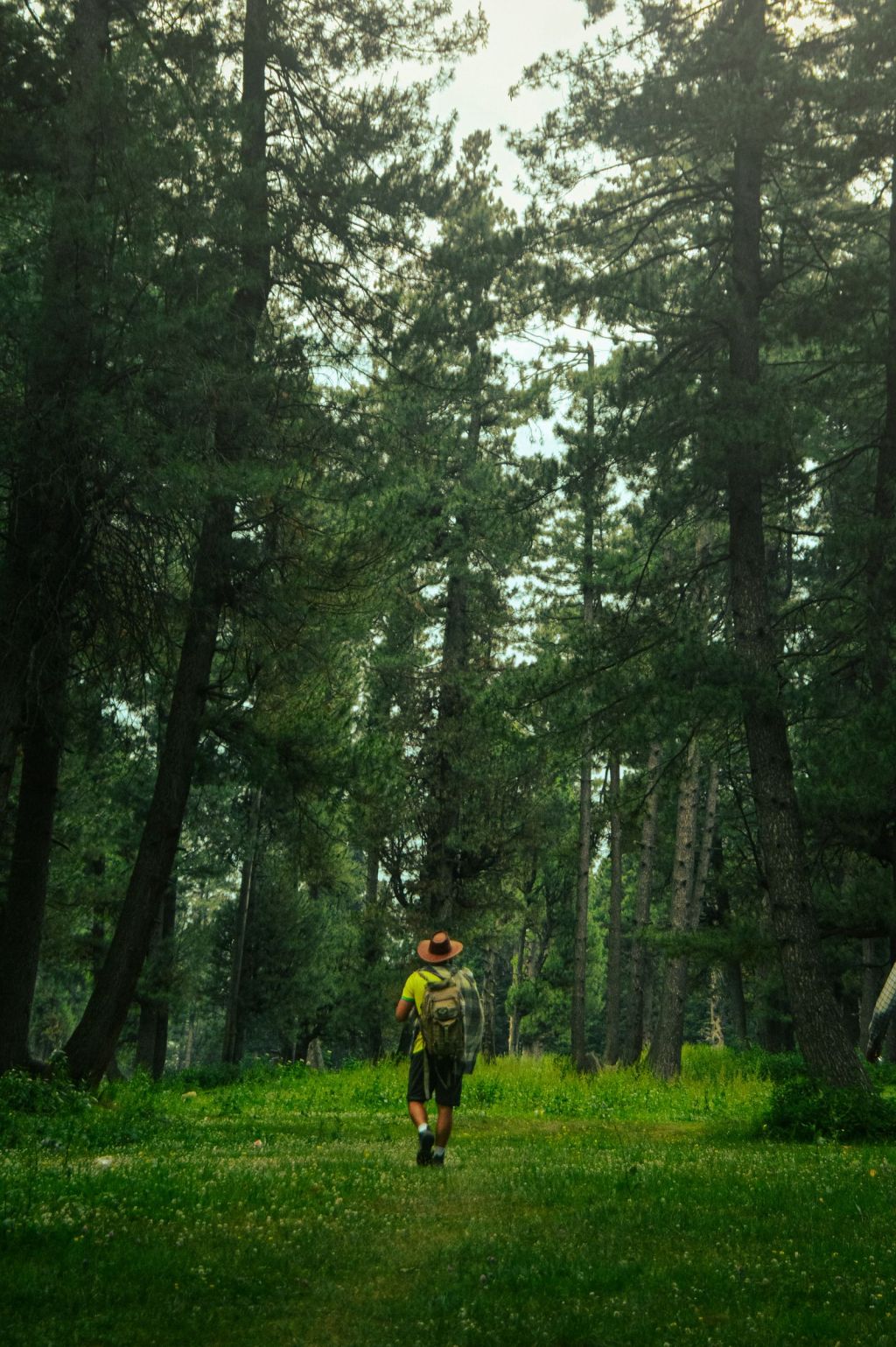
Pahalgam sits where the Lidder river leaves the mountains, a small town of pine forest, meadows and fast green water. For generations it has been the Valley’s base for walks, pony rides and longer treks into the high lakes. It is also a place where access has changed since April 2025, so planning matters more than usual. This guide covers what you can do now, what remains closed and how to plan a walking trip responsibly.
Current access: read this first
Several tourist sites around Pahalgam were closed after the attack at Baisaran on 22 April 2025. Some have reopened since; others have not.
- Aru Valley and Betaab Valley had reopened by April 2026, with visitors required to leave by 4 pm, according to reports marking one year since the attack.
- Baisaran meadow remained closed in April 2026, with access blocked by security forces.
- Chandanwari remained inaccessible in April 2026, and district orders updated in July 2026 listed Baisaran and Chandanwari among places closed until 31 December 2026.
- A QR-code system now lets visitors check the registration of pony operators, guides and vendors. Use it before you hire anyone.
- The UK government advises against all travel to Jammu & Kashmir except to and within Jammu city. International readers should check their own government’s advice and whether their insurance applies.
These orders change. Confirm the current list of open places with the local police, your hotel or a registered guide the day before you go.
Short walks from Pahalgam
- Along the Lidder: the river runs through town, and there are easy walks along its banks and into the edge of the pine forest. Stay on paths: the water is fast and very cold.
- Betaab Valley: a wide meadow with the river and forested slopes, a short drive from town. Good for an unhurried morning; keep to the 4 pm exit time.
- Aru: a village and meadows further up the valley, about 112 km by road from Srinagar. It is the starting point for longer treks, and its meadows are a fine walk in their own right.
Longer treks from Aru
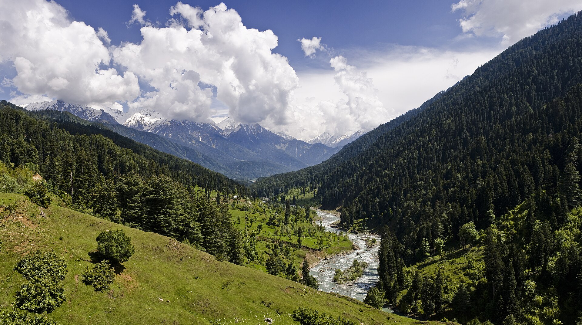
Beyond Aru, the trail follows the Lidder to Lidderwat, about 10 km away, and on towards the high lakes. The Tarsar Marsar trek is a circuit of around seven days and 48 km from Aru, with the highest point at about 4,100 m. Operators list July to August, and September to mid-November, as the main seasons.
- Trek only with a registered operator, who arranges the permissions required for the route. Carry original photo ID and copies.
- Ask the operator to confirm that the route is open before you book, and again before you set out.
- Build in one or two buffer days for weather or local disruptions.
- Prepaid mobile connections from outside Jammu & Kashmir often do not work in the Valley; arrange a postpaid connection or local SIM in advance.
The Amarnath Yatra
In summer, Pahalgam is one of the base camps for the Amarnath Yatra, the pilgrimage to the cave shrine of Amarnath. Pilgrims must register in advance. During the yatra, roads, hotels and security arrangements around Pahalgam change, so check dates if you are planning a non-pilgrimage trip in July or August.
Planning a walking trip
- When: late spring to autumn is the walking season. Winter brings snow and many trails close.
- How long: two nights in Pahalgam is enough for the town, Betaab and Aru; add a week for a trek from Aru.
- Getting there: by road from Srinagar. Local taxi unions run the routes; agree stops and timings in advance.
- Ponies: if you hire one, check the operator’s registration and agree the route and price before you start.
- Pack: layers, rain protection and sturdy shoes. Weather changes quickly in the mountains.
See also our Kashmir Valley guide, the permits and safety notes on our Kashmir places page, and five days in Kashmir.
Sources and image credits
Facts that can change were checked on 29 October 2026:
- Republic: One year on, Pahalgam tourism revives (20 April 2026)
- Brighter Kashmir: Baisaran meadow still shut (22 April 2026)
- The Wire: Jammu and Kashmir closures (15 July 2026)
- Trek The Himalayas: Tarsar Marsar trek (route, distances, season)
- GOV.UK: India regional travel advice
Photography: Abdullah K / Pexels (forest walk), used under the Pexels License; KennyOMG / Wikimedia Commons (Lidder Valley), CC BY-SA 3.0. These are not the author’s own images.
Access around Pahalgam changes by official order. Confirm locally the day before you travel.