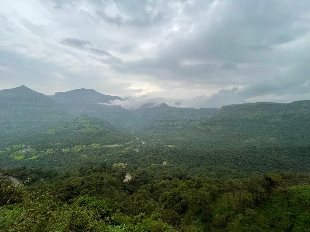
The Western Ghats run parallel to India’s west coast, and in Maharashtra they rise steeply behind Mumbai and the Konkan. The whole range is a UNESCO World Heritage Site for its biodiversity. For travellers, the Ghats mean cooler hill stations, dramatic monsoon scenery and hilltop forts with long histories.
Lonavala and Khandala
These twin hill towns sit on the old route between Mumbai and Pune, which makes them the easiest escape from either city. They are best known for their viewpoints, the Buddhist rock-cut caves at Karla and Bhaja nearby, and chikki, a nut-and-jaggery sweet sold all over town. Weekends are busy.
Mahabaleshwar and Panchgani
Further south, Mahabaleshwar, at about 1,350 metres, is the best-known hill station in the Maharashtra Ghats, with forested viewpoints over the Konkan and strawberry farms in winter and spring. Nearby Panchgani is quieter, set above the Krishna valley.
The monsoon
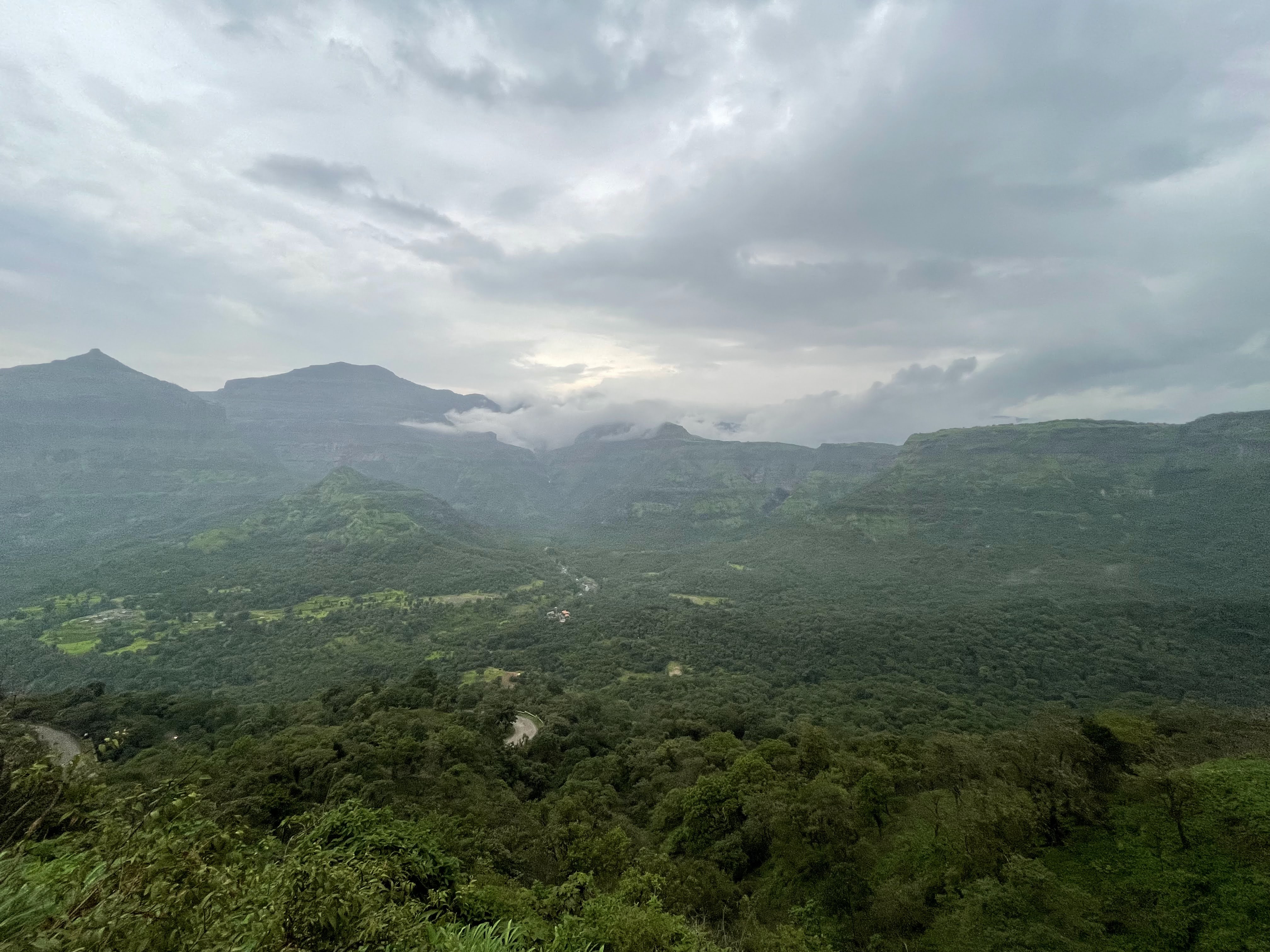
From roughly June to September the Ghats are transformed: cliffs vanish into cloud, waterfalls pour off every ridge and the hills turn an intense green. Malshej Ghat, north-east of Mumbai, is a classic monsoon drive. It is beautiful but demanding: roads can be blocked by landslides, visibility is poor and some waterfalls and forts are closed to visitors for safety.
The Maratha forts
In July 2025 the Maratha Military Landscapes of India, twelve forts associated with the Maratha rulers, were inscribed as a UNESCO World Heritage Site. Eleven are in Maharashtra, including Raigad, the former capital, and the sea fort of Vijaydurg; the twelfth, Gingee, is in Tamil Nadu. Many involve steep climbs, so go early and carry water.
Practicalities
- Getting there: Lonavala is on the Mumbai–Pune railway line and expressway; Mahabaleshwar is usually reached by road from Pune.
- When to go: October to February for walking and clear views; the monsoon for scenery, with care.
- Safety: don’t stand at cliff edges or wade into fast streams, and avoid driving ghat roads after dark in heavy rain.
See our Maharashtra guide.
Sources and image credits
Facts that can change were checked on 31 October 2026:
- UNESCO: Western Ghats
- UN in India: Maratha Military Landscapes of India inscribed on the World Heritage List
- India Meteorological Department
Photography: Krupa Nanda via the WordPress Photo Directory (CC0). Stock images, not the author’s own.
Ghat roads can close after heavy rain, and some trails and waterfalls are restricted in the monsoon. Check local advisories before you go.