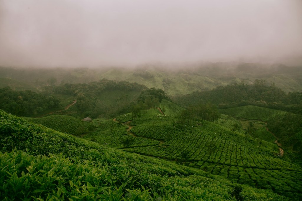
Munnar sits at around 1,600 metres in the Western Ghats of Idukki district, where three rivers meet. In the late nineteenth century British planters cleared the forested Kannan Devan Hills for tea, and today the slopes are covered in clipped green bushes, threaded with estate roads and workers’ settlements. It is cool, misty and very beautiful, and it suits a slow pace.
The tea estates
Most of the land around Munnar is still worked by tea companies. A tea museum on the Nallathanni estate explains the history of the plantations and shows how leaf becomes tea. Walking on estate roads is the simplest way to see the landscape; for trails across the estates, go with a local guide, since much of the land is private.
- Buy tea from estate outlets or the museum shop rather than roadside stalls.
- The pickers are working; ask before taking close-up photographs.
- Mornings are clearest. Mist and rain often roll in by afternoon.
Eravikulam National Park
North of town, Eravikulam protects high grasslands and shola forest around Anamudi, at 2,695 metres the highest peak in South India. It is home to the endangered Nilgiri tahr, a mountain goat that is often seen close to the visitor road. Visitors are taken up by park buses to a limited zone. The park usually closes for some weeks in early spring for the tahr calving season, so check before planning around it.
Eravikulam is also known for neelakurinji, a shrub that flowers en masse roughly once every twelve years and turns the hills blue. The last mass flowering was in 2018.
Top Station and the dams
The road east past Mattupetty and Kundala reservoirs climbs to Top Station near the Tamil Nadu border, where the view drops away into the plains on a clear day. It is a half-day trip; go early, before cloud fills the valley.
Planning
- Getting there: Kochi airport is about four hours by road; Madurai is a similar distance on the Tamil Nadu side. The ghat roads are winding, so allow extra time and take breaks if you get travel sick.
- When to go: September to May. The south-west monsoon from June brings very heavy rain and occasional landslides.
- How long: two nights at least; three lets you walk without rushing.
- Where to stay: outside the busy town centre, in a homestay or estate bungalow.
Pair Munnar with Thekkady and the backwaters, or read our Kerala guide.
Sources and image credits
Facts that can change were checked on 30 October 2026:
- Wikipedia: Munnar
- Wikipedia: Eravikulam National Park
- Wikipedia: Anamudi
- Wikipedia: Strobilanthes kunthiana (neelakurinji)
- Kerala Tourism (official)
Photography: Ravi Pinisetti via Unsplash (Unsplash License). A stock image, not the author’s own.
Park opening dates and road conditions change, especially during the monsoon. Check Kerala Tourism and the Kerala Forest Department before you travel.