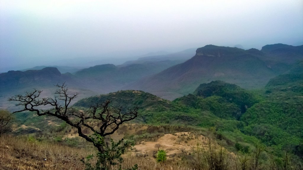
Pachmarhi sits on a plateau in the Satpura range, at about 1,067 metres, surrounded by forest, ravines and sandstone cliffs. It is Madhya Pradesh’s only hill station: the British noticed the plateau in 1857 and later developed it as a summer retreat and army station. It remains a cantonment town, green, orderly and much cooler than the plains below.
The area is part of the Pachmarhi Biosphere Reserve, added to UNESCO’s World Network of Biosphere Reserves in 2009, and borders Satpura Tiger Reserve.
What to see
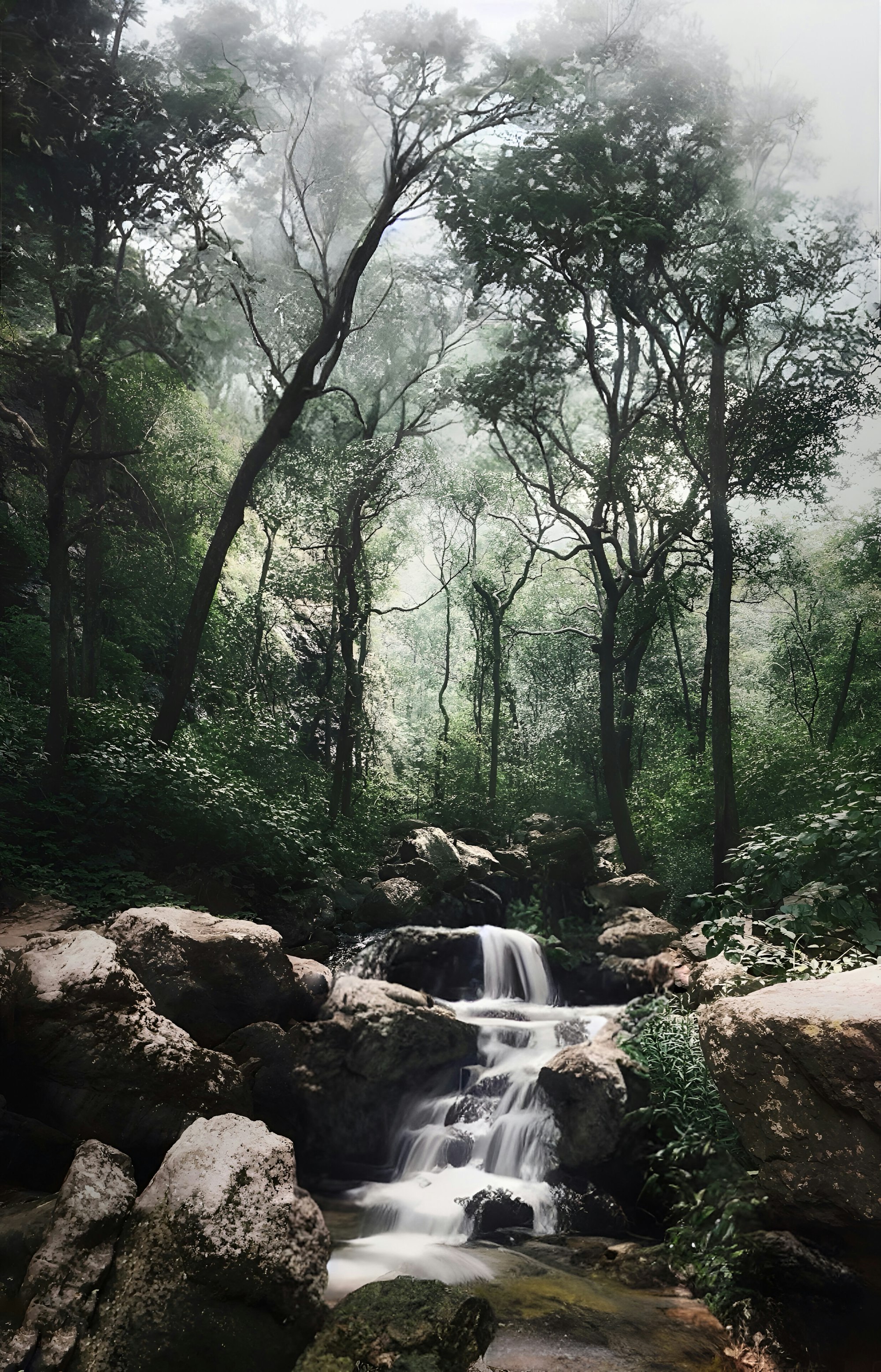
- Waterfalls: Bee Falls is the most visited; Rajat Prapat (Silver Falls) and Apsara Falls are reached on forest walks.
- Caves: the Pandav caves, five rock-cut chambers on a hillock, and the Jata Shankar cave shrine in a narrow gorge.
- Viewpoints: Dhupgarh, at 1,352 metres the highest point in Madhya Pradesh and the Satpura range, is the classic sunset spot; Handi Khoh is a deep, forested ravine.
- Temples: Bada Mahadev and Gupt Mahadev, cave shrines that draw pilgrims during Mahashivratri.
Many sites lie inside protected forest and are visited in permitted vehicles with a guide arranged locally; walking routes are worth asking about.
Satpura Tiger Reserve
Satpura is quieter than Kanha or Bandhavgarh and known for activities that most Indian tiger reserves don’t offer, such as walking and boat safaris in permitted areas. Like other reserves in the state, its core zone closes for the monsoon, and safaris are booked through the official MP Forest portal. See our safari guide for how booking works.
Practicalities
- Getting there: Pipariya is the nearest railway station, a drive of a couple of hours below the plateau. Bhopal, with its airport, is the usual gateway by road.
- When to go: October to June. Summers are pleasant here compared with the plains, which makes it busy in May and June. The monsoon brings dramatic waterfalls but closes some trails.
- How long: two or three days.
- Respect the forest: no litter, no loud music, and stay on paths.
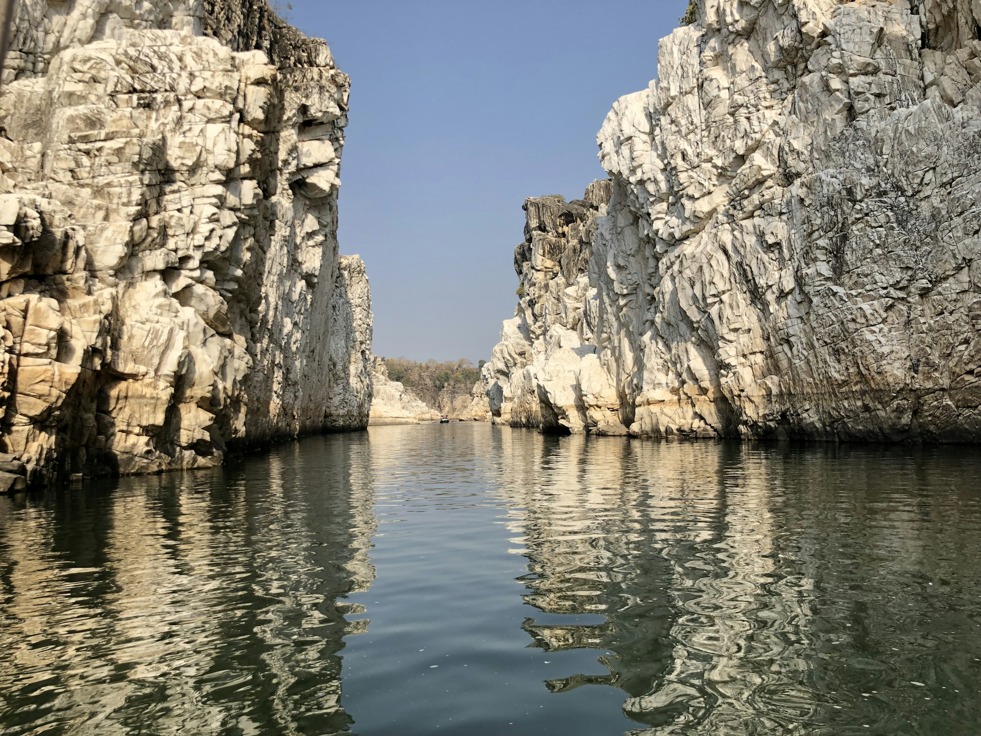
On the way between Pachmarhi and Kanha, Jabalpur is worth a stop for Bhedaghat, where the Narmada flows through a gorge of white marble cliffs, and the nearby Dhuandhar falls.
Pair it with Bhopal, Sanchi and Bhimbetka. More in our Madhya Pradesh guide.
Sources and image credits
Facts that can change were checked on 31 October 2026:
- Wikipedia: Pachmarhi
- Wikipedia: Pachmarhi Biosphere Reserve
- MP Forest Department safari booking portal
- Madhya Pradesh Tourism
Photography (stock images, not the author’s own): via Unsplash, under the Unsplash License: Vidhyasagar Dixit (The Satpura hills, Pachmarhi), Ansh Jain (A forest stream, Pachmarhi), Bhumil Chheda (Marble Rocks, Bhedaghat).
Waterfalls, forest trails and some viewpoints may close in heavy rain or for wildlife reasons. Follow forest department notices and local advice.